解决方案
BricsCAD BIM
扫描至BIM
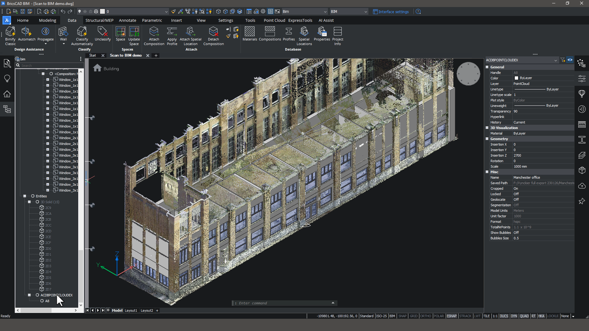
智能工具可以将点云变成精确的 3D 模型。
BricsCAD Pro
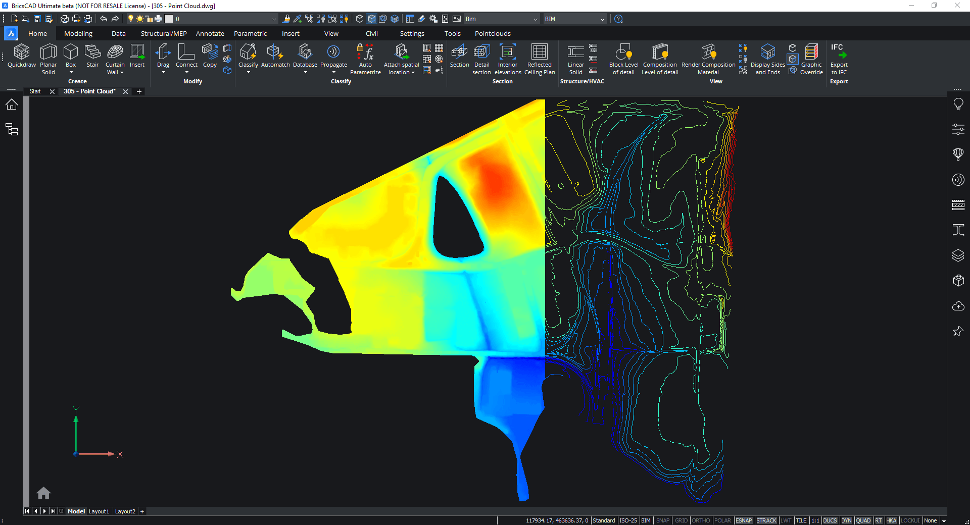
扫描到 TIN
将大型点云导入BricsCAD,并使用我们的工具来过滤不必要的点,以创建一个可行的TIN曲面。
BricsCAD Pro |
Partner App required
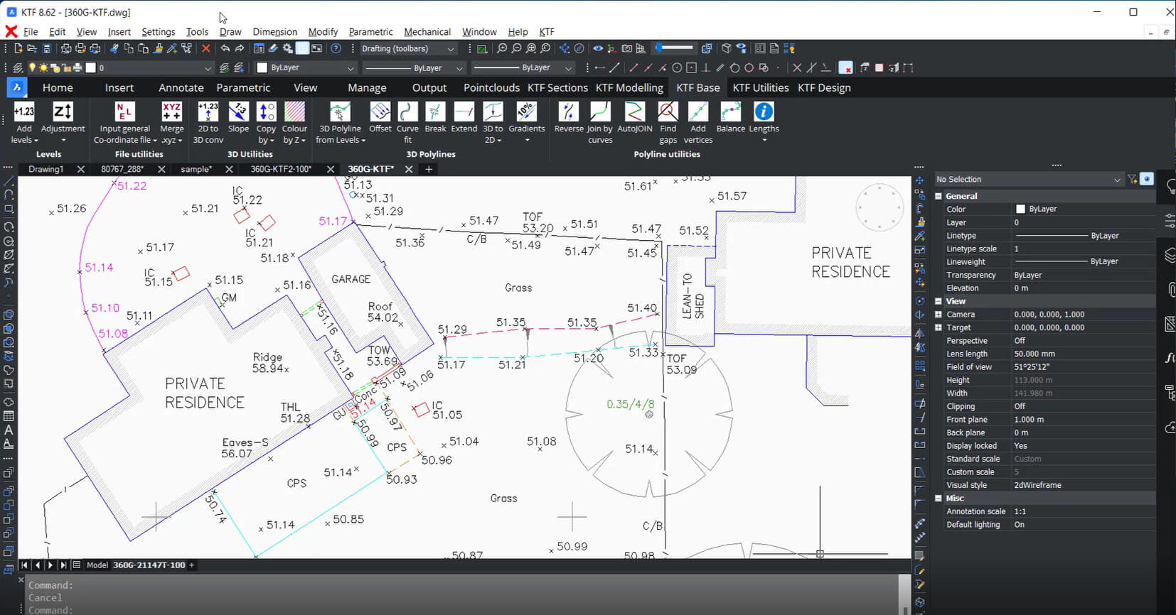
全站现场勘测到 CAD 可交付成果
使用 BricsCAD Pro 和 Key Terra Firma 创建一个准确的 CAD可交付成果。这种组合为导入现场调查数据提供了一种简单而强大的方式。
BricsCAD BIM
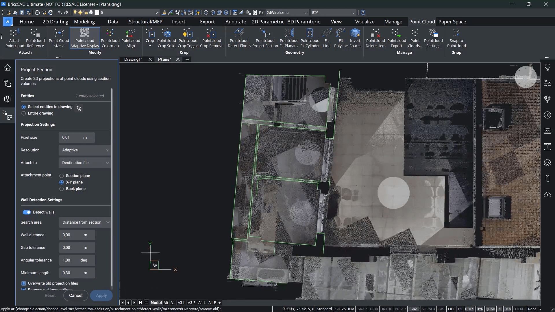
扫描到平面图
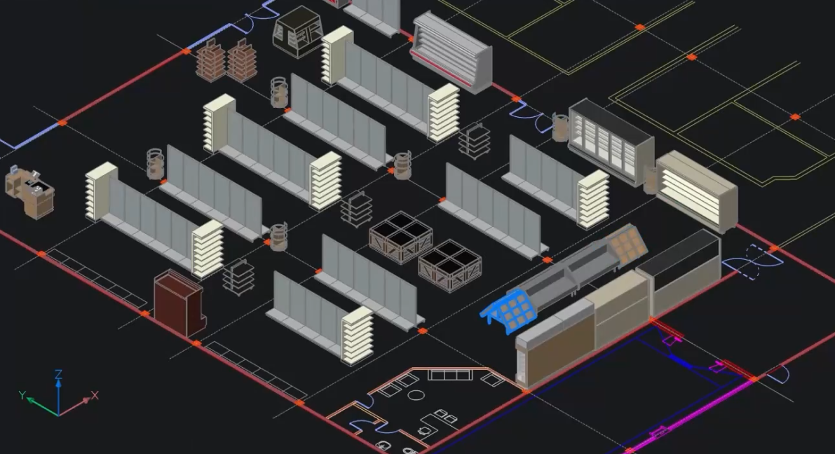
从点云快速记录二维平面图。
Bricsys 24/7
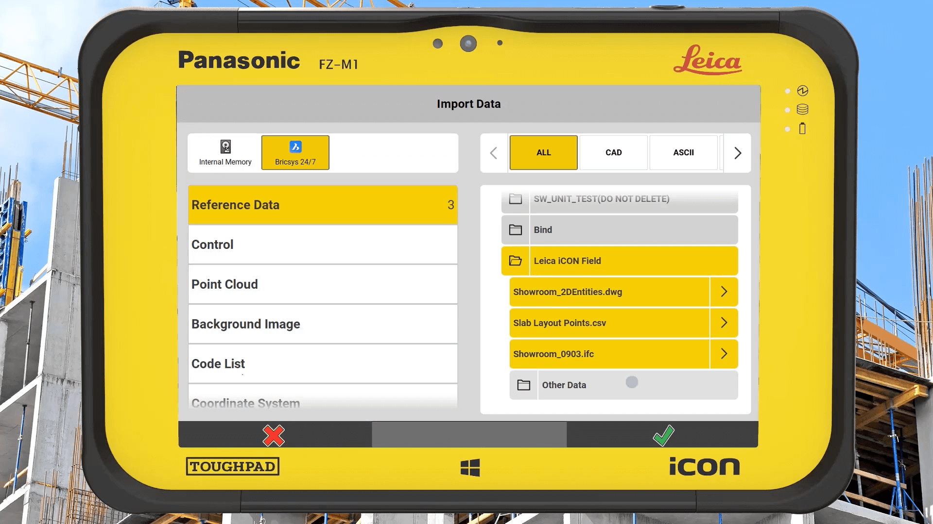
施工布局的云协作
无缝连接现场和办公室的施工布局工作流程。使用 Bricsys 24/7 云解决方案交换点列表、图纸和模型等数据。
测量员提高生产力


我们对BricsCAD的功能和多功能性非常满意。我们用该软件生成所有的调查平面图。BricsCAD使我们的生产力得到了提高,我们的Geosi扩展,达到了前所未有的水平。
Mr. Klaus Legat,航测部主任


资源
相关内容
联系我们
我们如何能帮助?
联系 Bricsys 以发现适合您工作流程的最佳 CAD 升级。 选择 BricsCAD 可降低成本、无缝协作并提高效率。我们的客户支持团队随时为您提供帮助。
购买 BRICSCAD
我们所有的 CAD 软件

30 天试用
