Chez Bricsys, nous offrons un cadre solide à nos développeurs d'applications de génie civil et de topographie pour leur permettre de créer des outils spécialisés qui livrent des flux de travail robustes et efficaces pour les utilisateurs de BricsCAD. Découvrons les mises à jour et les améliorations développées par nos divers partenaires pour améliorer les flux de travail de BricsCAD V24 dans le domaine du génie civil et de la topographie.
Ces applications métier viennent s'ajouter au catalogue d'applications tierces prises en charge par BricsCAD. Les développeurs améliorent continuellement les fonctionnalités disponibles afin qu'elles soient toujours alignées sur les nouvelles capacités introduites dans chaque nouvelle version.
Utilisation des données SIG dans BricsCAD
Flux de travail SIG avec Spatial Manager pour BricsCAD
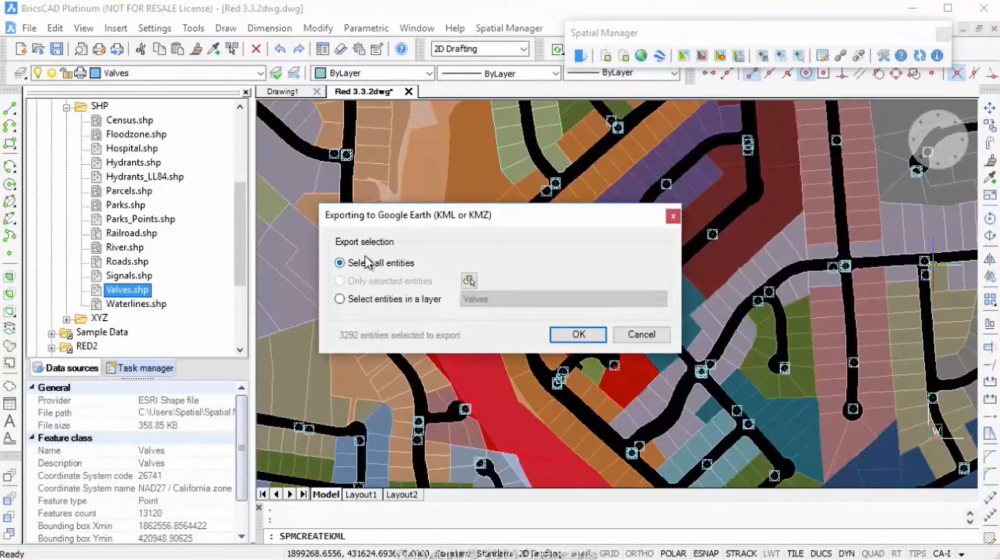
Spatial manager pour BricsCAD est une formidable application orientée utilisateurs, qui intègre des outils SIG dans leur flux de travail. Ce plug-in puissant accélère et facilite l'importation, l'exportation, la gestion et la transformation des données spatiales. La dernière version apporte une série de fonctionnalités, notamment des cartes thématiques, le géocodage, un calculateur de terrain et plusieurs autres fonctions impressionnantes. Qu'il s'agisse de gérer des données alphanumériques, de créer des modèles de terrain ou de d'afficher des fonds de carte, Spatial manager rend les opérations plus simples, plus rapides et plus rentables.
Travailler avec des surfaces TIN dans BricsCAD
TcpMDT par Aplitop
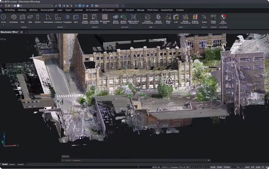
TcpMDT , développé par Aplitop, est une solution tout-en-un pour les projets de topographie et de génie civil. S'appuyant sur la puissante API civile de BricsCAD, TcpMDT gère les surfaces, les axes, les profils et les volumes, en combinant les commandes des deux applications de façon transparente. L'introduction de l'éditeur Tcp PointCloud permet une gestion efficace des nuages de points capturés par différentes méthodes. Cette application offre des capacités de modélisation étendues, permettant aux utilisateurs de générer des surfaces, des lignes de contour et bien plus encore.
Outil de CAO pour le nivellement des sites
Autopath de CGS Labs
Autopath de CGS Labs a introduit des améliorations inédites et ajouté de nouvelles fonctionnalités au cours de cette année. Des ingénieurs civils et architectes aux entreprises d'aviation et de transport spécial, Autopath s'adresse à un large éventail d'utilisateurs. Le nouveau modèle de licence Intralogistics répond aux exigences des trains logistiques actuellement utilisés dans les environnements industriels. Autopath 2024 prend désormais en charge les mégacamions, les Eurocombis et les trains routiers. Accompagné d'une bibliothèque de véhicules élargie, Autopath offre une fonctionnalité et une polyvalence sans précédent pour le nivellement des sites.
Commandes transparentes pour les utilisateurs spécialisés dans le génie civil et la topographie
SurveyTools de MicroSurvey pour BricsCAD
SurveyTools pour BricsCAD est un produit innovant de MicroSurvey, une société du groupe Hexagon. Il offre une solution tout-en-un pour les flux de travail spécifiques aux topographies. Il offre ainsi une technologie de pointe qui accélère votre productivité tout en garantissant l'intégrité des données. Que vous cherchiez à générer des lignes, à importer des données à partir de formats standard ou même à rationaliser le processus d'organisation du chantier, SurveyTools, grâce à son intégration à la technologie Hexagon et ses fonctionnalités de dessin impulsées par l'IA, offre tous les outils dont vous avez besoin.
Pour découvrir encore plus d'applications de génie civil et de topographie disponibles, nous vous invitons à explorer la liste complète des applications disponibles qui utilisent notre API robuste.
Pour en savoir plus sur le travail impressionnant des développeurs de BricsCAD pour créer des solutions de génie civil et de topographie, regardez la session thématique. Si vous voulez essayer BricsCAD, téléchargez une version d'évaluation gratuite de 30 jours dès aujourd'hui.


